Metal detecting Cedar Branch
Today, I metal detected the wooded area around Cedar Branch, a branch of the Patapsco River, in the region spanning from Crosby Road down to Woodbridge Elementary. The woods are surrounded on all sides by dense housing development dating to the 1960s.
This was my second outing with the metal detector after about a ten-year hiatus, so I was mainly still testing the functionality of the detector. There have not been any historical structures recorded in the area, so I was not expecting to find anything old.
I accessed the woods via Crosby Road, crossing the creek and metal detecting while walking south alongside the creek. I quickly found a few objects. None were particularly interesting, and seemed to be modern trash.
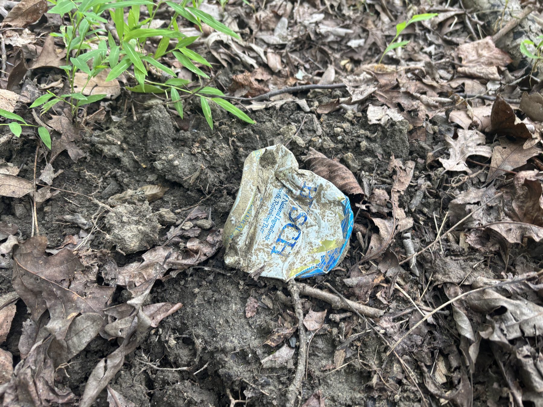
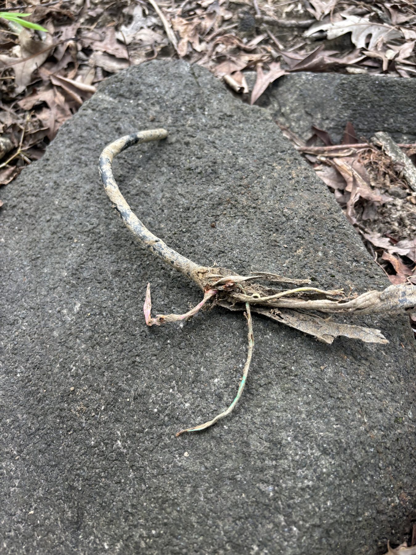
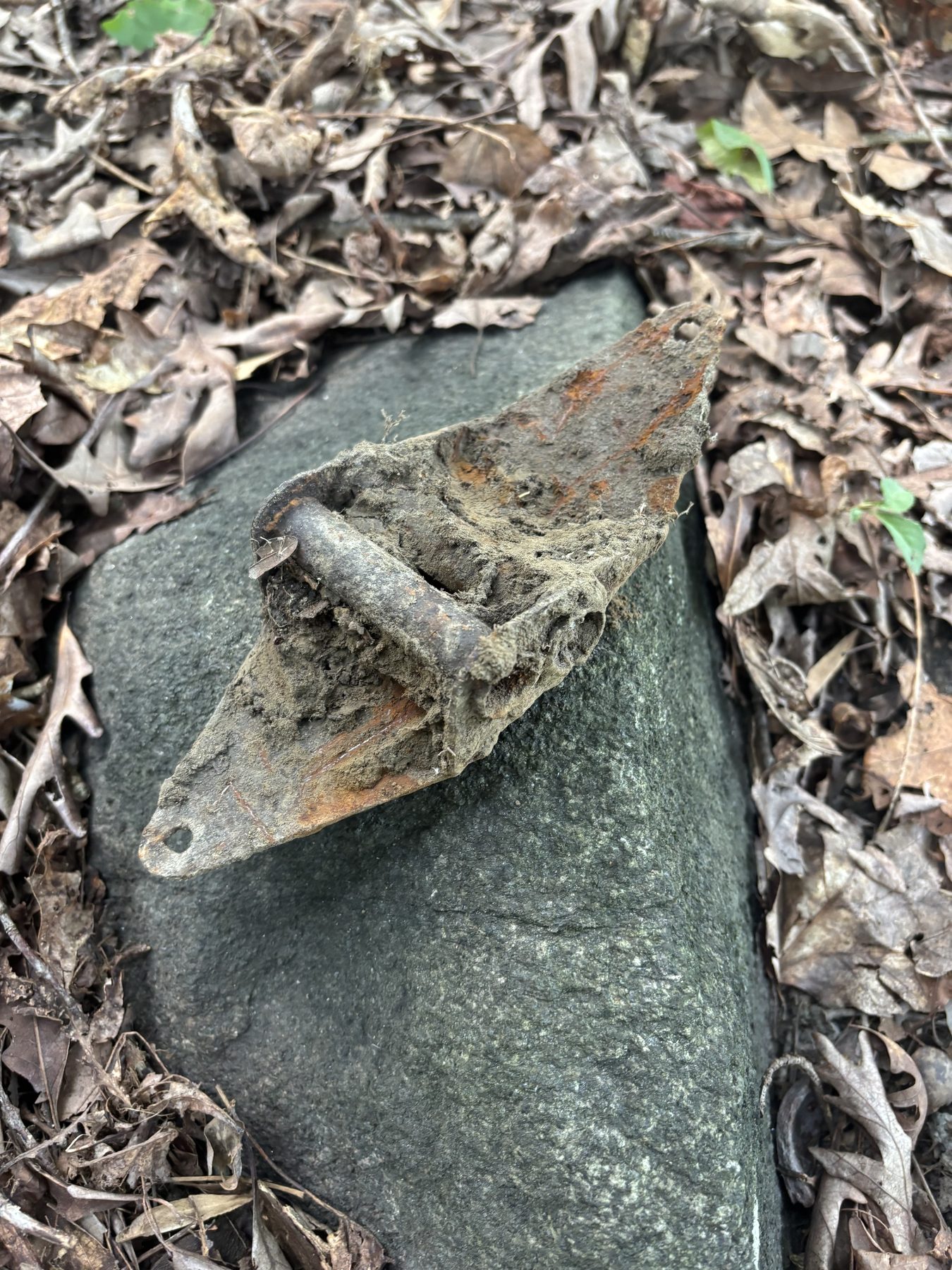
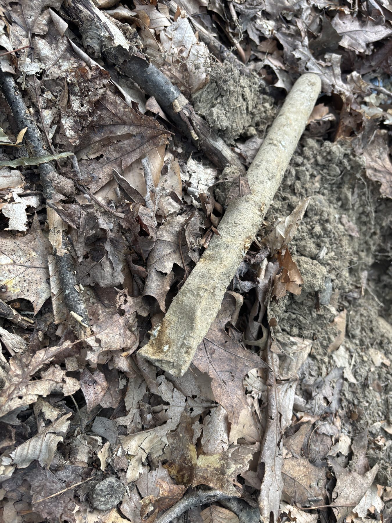
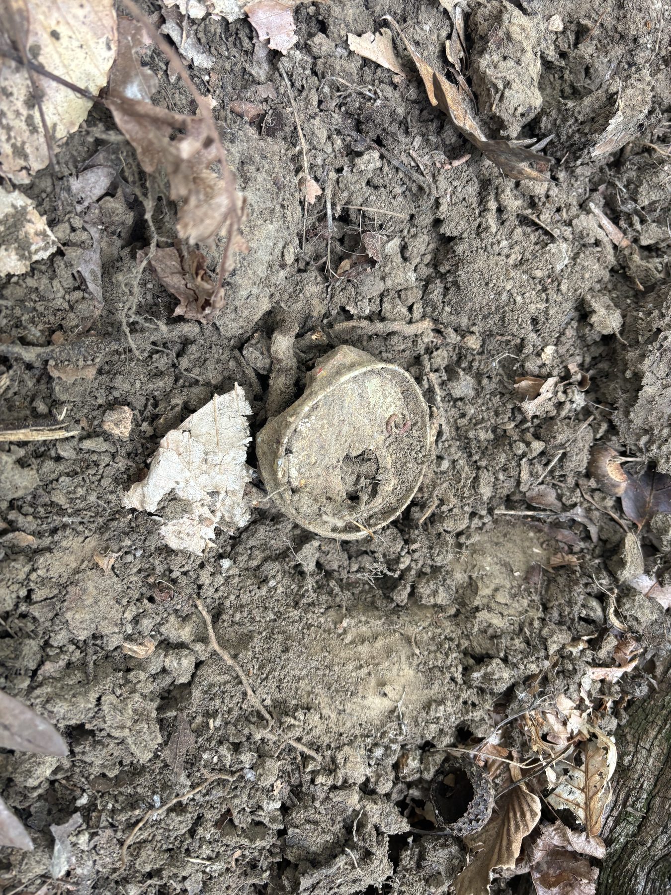
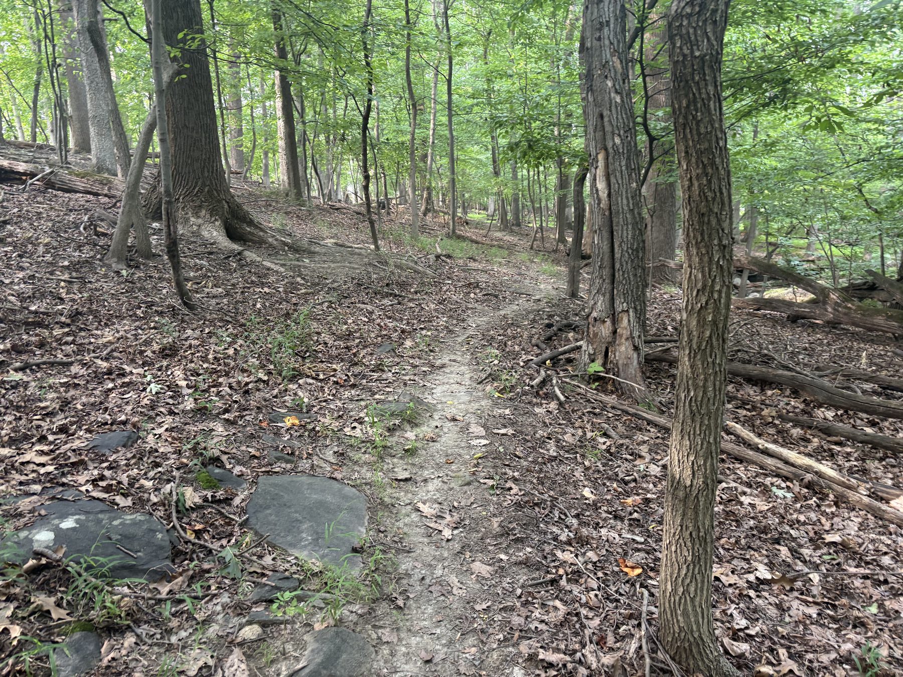
For a portion of the walk, I followed an overgrown footpath running north–south. Parts of it were more visible than others — perhaps it had been a year or two since it was last walked. I could only assume it to be the work of one or two people who had taken to frequent walks in their backyard woods. There was no terminus, as it faded away at either end.
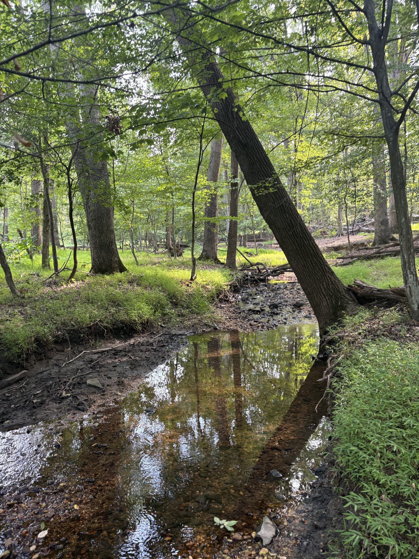
I particularly enjoyed seeing fallen trees and their varying levels of disintegration back into the earth. I thought about how the stream appeared just as it would have to the Native Americans who passed through these woods centuries ago.
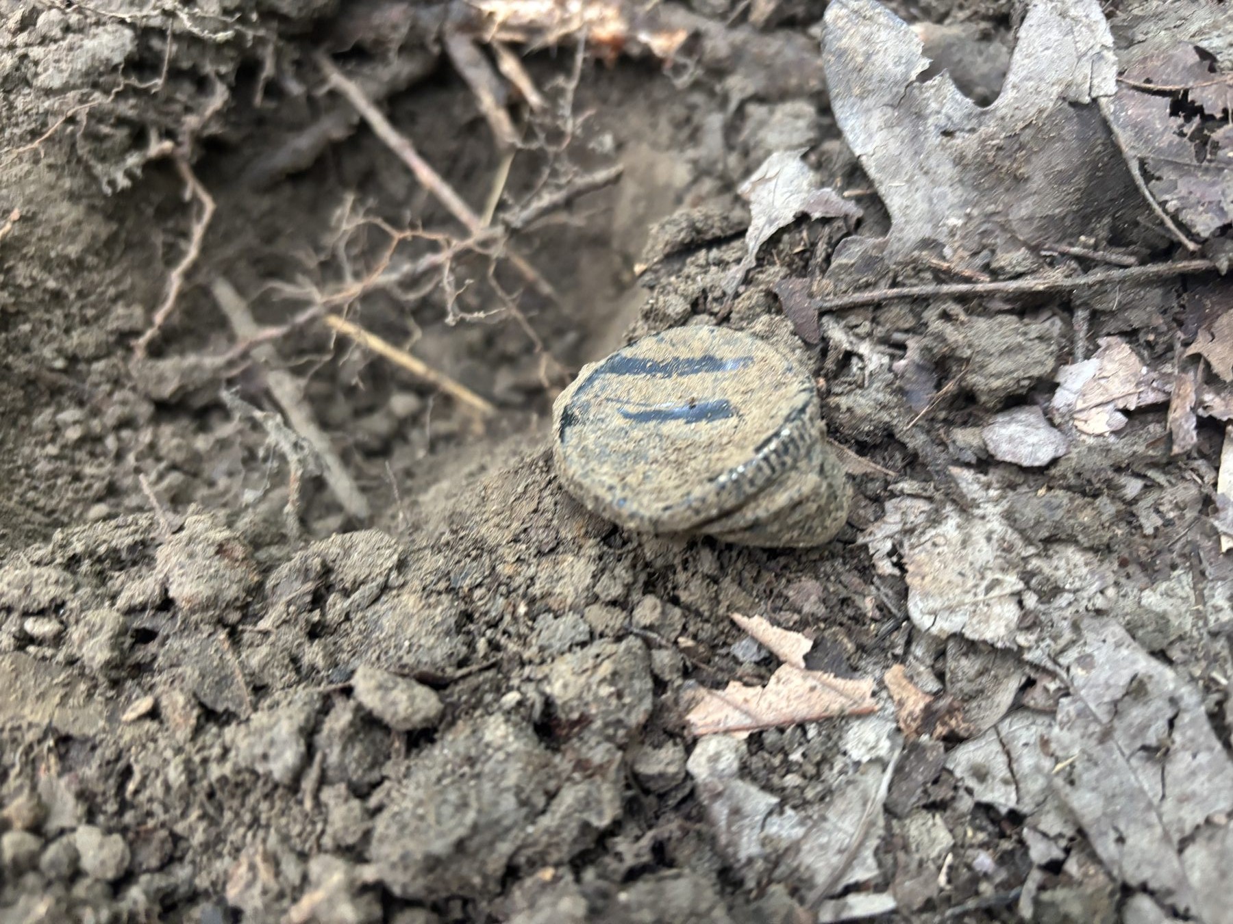
I walked south and steadily westerly, bordering the backyards of the homes on Hunters Wood Circle. There, I detected what I immediately knew to be a button.
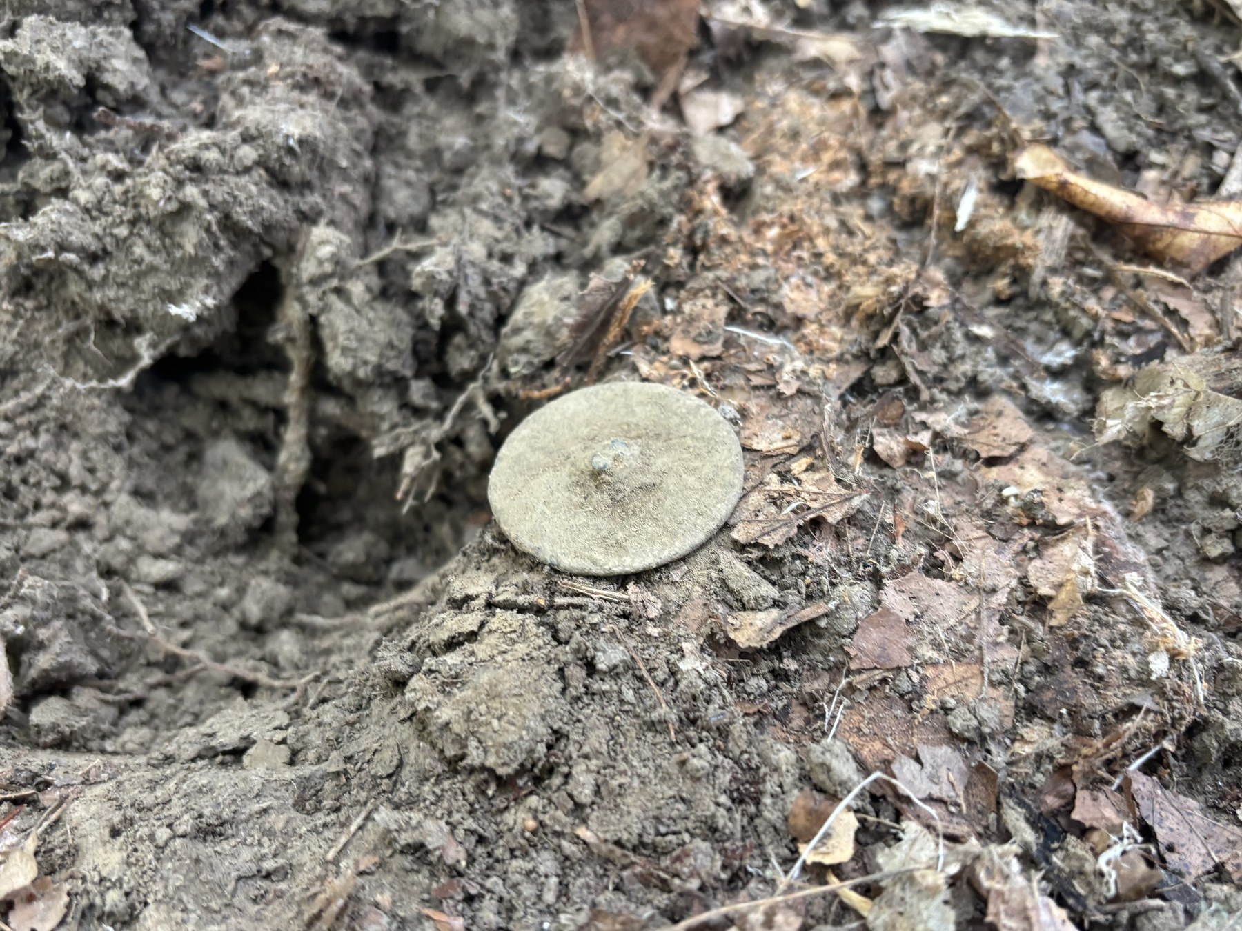
It was the only object I took home. After cleaning it and getting opinions from the r/metaldetecting Reddit subforum, the overwhelming consensus was that this is a colonial spun-back tombac button, or “dandy button” — apparently a common metal detecting find — dating to the late 18th century.
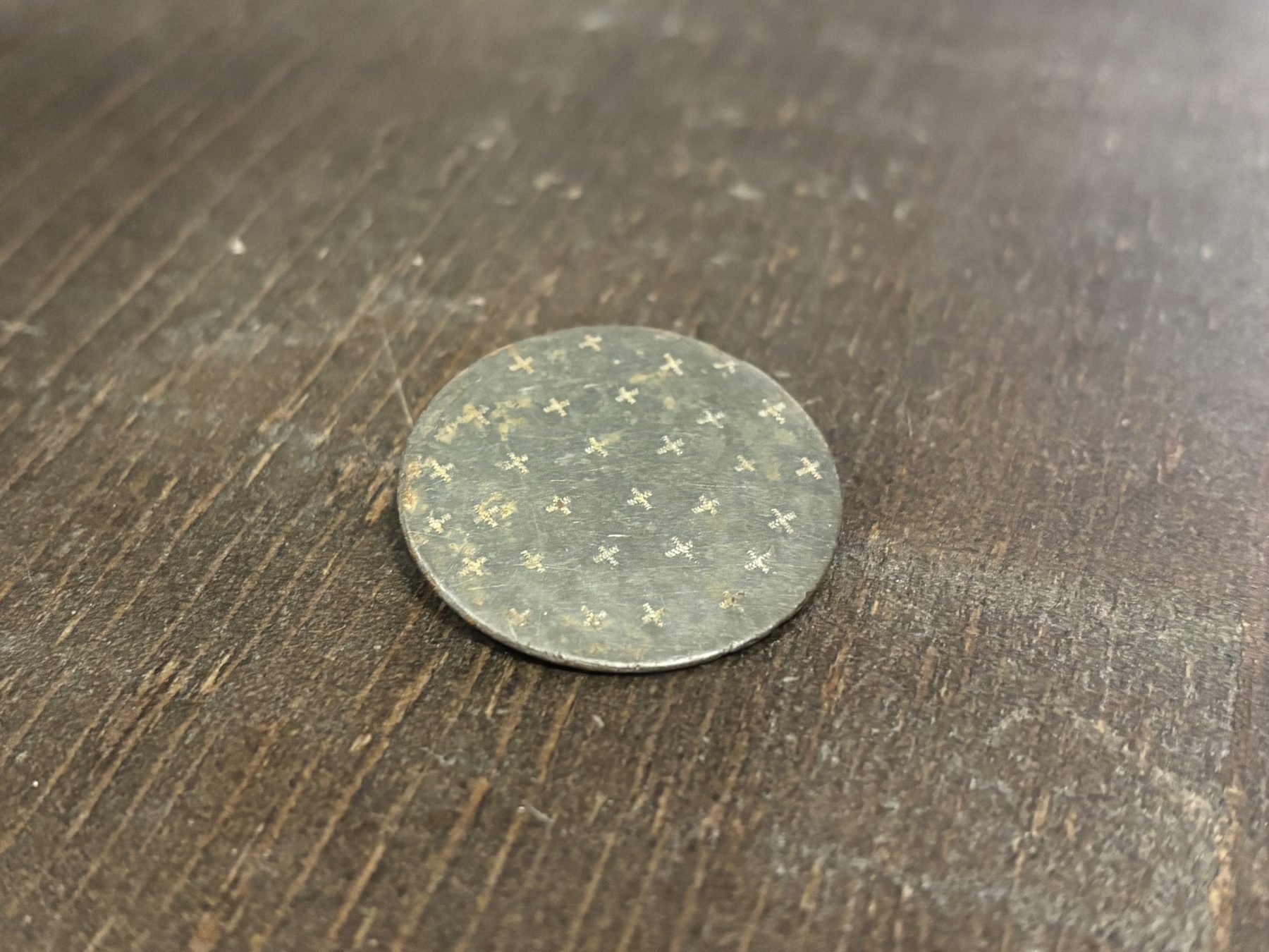
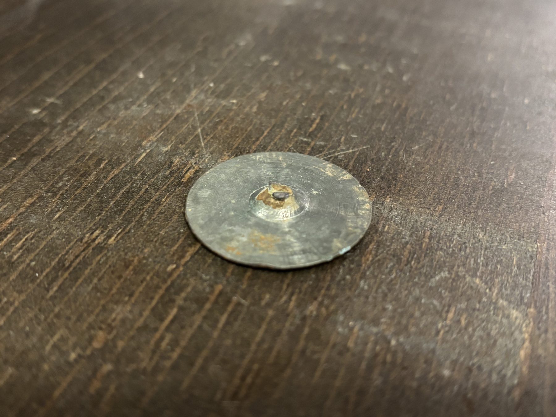
The button after cleaning.
The unanimous agreement among more experienced hobbyists thoroughly convinced me of its antiquity. Some helpful words from online enthusiasts who helped identify the piece:
Late 1700s/ very early 1800s at latest. It falls perfectly into the button size of a frock coat too in my opinion aka a dandy button! It cleans up that silvery kind of look because it’s probably made of a tin/pewter or copper/tin alloy. Those little x’s on the front would’ve been hand stamped design, these are my absolute favorite kind of buttons to find 😊 whoever wore this probably wasn’t your run of the mill poor farmer and had a little extra money to spend on lookin stylish
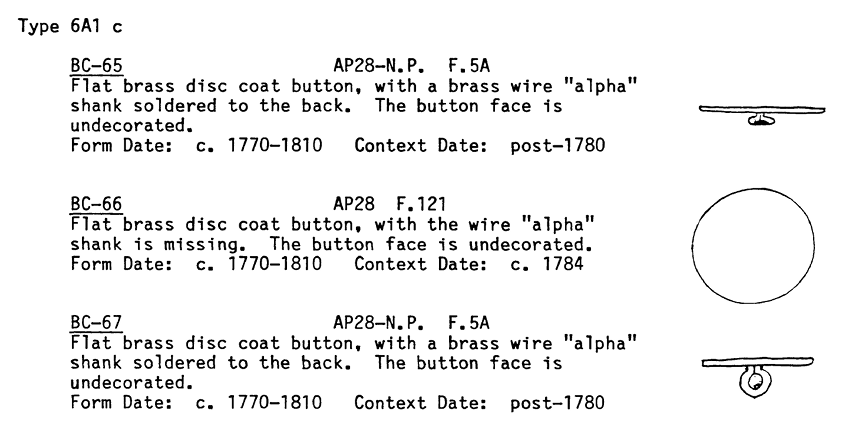
This approximate design is dated c. 1770–1810 in Stephen Hinks’s A Structural and Functional Analysis of Eighteenth-Century Buttons:1
Here is an example of what this button would have looked like when worn, buttoned onto a frock coat:
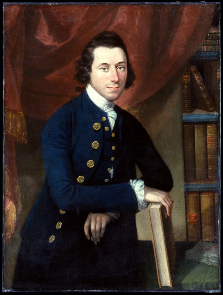
I began to assess how this button could have ended up here. On mid-19th century maps, this area appeared to be a vast emptiness, which is why I did not expect to find anything old.
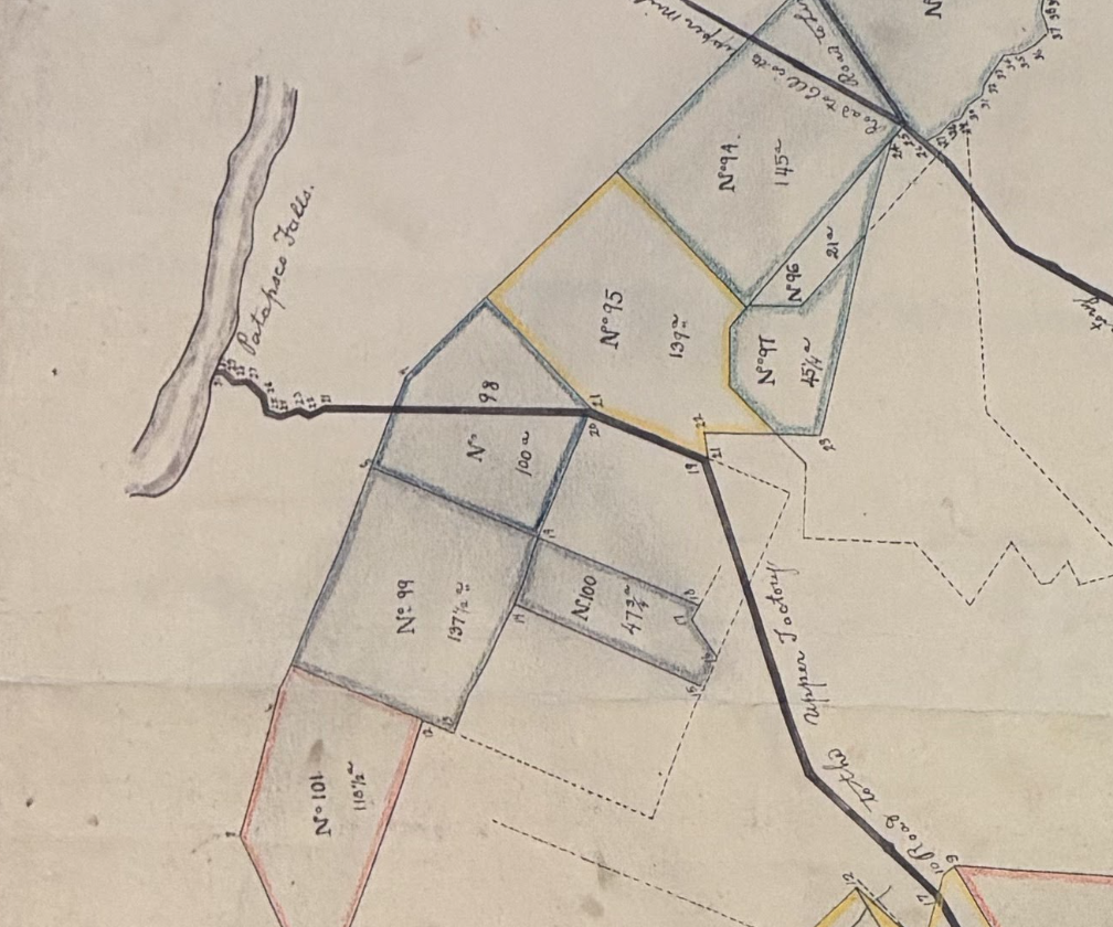
It soon became apparent to me that there had been a historical feature here — a few decades earlier. In this early 1810 plat, the following road appears, branching west off Rolling Road toward the Patapsco River:
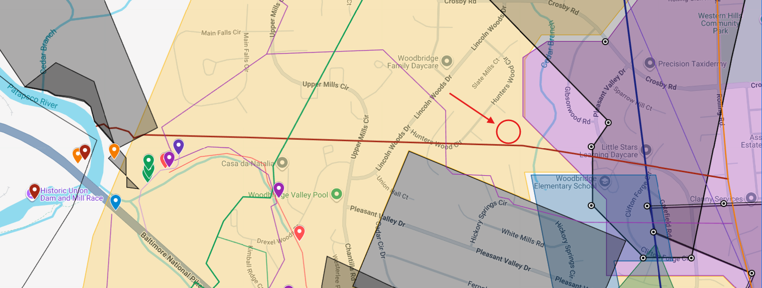
Now long-gone, it would have crossed immediately adjacent to where I had metal detected the dandy button — an “unbiased” conclusion, as I had approximated its location via Google My Maps prior to detecting the button:
The road would have led travelers to a millsite on the Patapsco River, where the first mill was constructed by Nicholas Randall about 1784, forming the earliest possible date of the road.
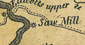
In 1808, the mills were redeveloped by the Union Manufacturing Company into the “Upper Factory” — as a larger corporation, it is not implausible that they were responsible for construction of the road, which is specifically labeled “Road to the Upper Factory” in the 1810 plat. The mill likely lasted until the 1830s, after which the road also disappeared.5
The age of the mills and the road match perfectly with the dating of the dandy button. It was likely dropped along this road by a mill overseer or supervisor in the late 18th century, or otherwise a Union Manufacturing Company commissioner from the first decade of the 19th century.
Sources
- 1. Stephen Hinks, A Structural and Functional Analysis of Eighteenth Century Buttons (M.A. thesis, College of William & Mary, 1988). scholarworks.wm.edu
- 2. Matthew Pratt, Portrait of Thomas Bolling (1735–1804), 1773, Colonial Williamsburg. colonialvirginiaportraits.org
- 3. “[Plat of tracts in Baltimore County involved in Charles Carroll of Carrollton et al. vs. John Tasker Carter et al.],” Maryland State Archives, Special Collections, MSA SC 1427-1-328. speccol.msa.maryland.gov
- 4. Dennis Griffith, Map of the State of Maryland laid down from an actual survey…, 1794, Library of Congress, Geography and Map Division. loc.gov
- 5. Maryland Historical Trust, Inventory of Historic Properties, Union Dam and Mill Race, HO-534. apps.mht.maryland.gov